Public Land Register
The Public Land Register contains information about land owned by the government, or land that is in the care and control of the government including land under lease. The Public Land Register contains information about land owned by the government, or land that is in the care and control of the government including land under lease. Councils in NSW must make available a register of Council-owned and Council-managed land in accordance with Section 53 of the Local Government Act 1993.
The Land Register includes information relevant to the land including (but not limited to):
- the name (if any) by which the land is known
- address or location of the land
- reference to title of the land
- name of the owner of the land
- whether or not the land is Crown land
- classification of the land
- whether or not there is a Plan of Management for the land
- zoning (if any) of the land under an environmental planning instrument and
- particulars of any agreement (including any lease or licence) entered into by the Council with respect of the land.
The map will be regularly updated in line with the implementation of new legislation and ongoing property and land dealings.
While every effort has been made to ensure the accuracy of the information, Council accepts no responsibility for any errors or omissions and makes no statements, representations or warranties about the accuracy or completeness of any information contained in it. Any potential error should be reported to Wingecarribee Shire Council by email to mail@wsc.nsw.gov.au
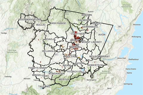
Wingecarribee Shire Council's Public Land Register is available here in Excel format and as an interactive online map.
View Land Register in Excel Format(PDF, 1MB)
View Map in Full Screen Mode