TreePlotter Inventory

TreePlotter image for webpage.png

Council is committed to the protection of all trees to retain and enhance the overall landscape quality of the Shire.  As part of this process, Council has acquired a data management software system called TreePlotter. 

TreePlotter is a digital tool the Council uses to map and track street and park trees in our area. You can explore the database to locate specific trees, discover their species, learn which animals and birds inhabit them, and access other interesting information. 

Residents and visitors can also use TreePlotter to look up trees. You can find information about your favourite tree, including species name, measurements and the eco-benefits of our Shire's trees.

Moving forward Council looks to partner with its residents to create a collaborative platform for use in the management of the Shire's trees.

Stay tuned for exciting features to come!

Street Tree Audit

Street Tree Audit 2024

tree management


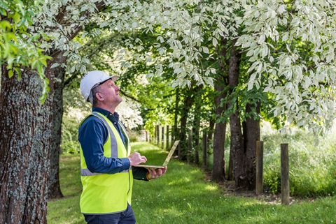
As we move forward, we are excited to share opportunities for community involvement in tree data collection through our TreePlotter software. In 2025, we will be working collaboratively with residents to map and assess tree canopy across the shire, ensuring we have the best possible data to guide future decisions.

Council is committed to an open and consultative approach, giving all interested residents the opportunity to contribute to and better understand our urban forest.

While we refine our approach, we welcome any queries about TreePlotter, street tree audits, or general tree-related concerns.

Please feel free to reach out to our customer service team for more information.